UN
11 Kirkhead
£ 150,000
Description
We don't have a Description for this property.
- Bedrooms
- 3
- Bathrooms
- 0
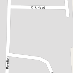
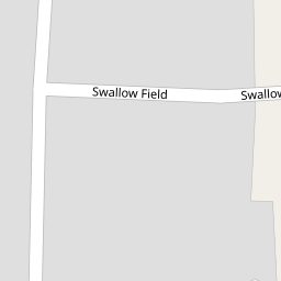
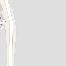

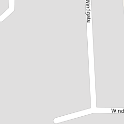

Leaflet © OpenStreetMap contributors
The heatmap indicates the level of crime in the area. The color of the heatmap indicates the crime severity and recency.
Metrics Year-on-Year
- Average area value
- 472,750.00 £Decreased by 21.88 %
- Average area rental value
- 1,418.00 £/moDecreased by 35.04 %
- Est rental Yield
- 3.60 %Decreased by 16.86 %
- Crime Rate
- 40.00 %Unchanged by 0.00 %
from 605,189.00 £
from 2,183.00 £/mo
from 4.33 %
from 40.00 %
Nearby Schools
| Name | Type | Ofsted | Distance |
|---|---|---|---|
| Little Hoole Primary School | Community School | Good | 1.75 KM |
| Hoole St Michael Cofe Primary School | Voluntary Aided School | Good | 1.84 KM |
| Bretherton Endowed Church Of England Voluntary Aided Primary School | Voluntary Aided School | Outstanding | 2.63 KM |
| Longton Primary School | Community School | Outstanding | 3.15 KM |
| Longton Children'S Centre | Children's Centre Linked Site | 3.31 KM |
Images
Nearby Streets
| Name | Average Price | Average Sqft | Distance |
|---|---|---|---|
| Fir Tree Close | £ 275,000 | 0 | 0.00 KM |
| Oldfield | £ 240,000 | 0 | 0.00 KM |
| Nursery Gardens | £ 0 | 0 | 0.00 KM |
| Doles Lane | £ 850,000 | 0 | 0.00 KM |
| Meadowside | £ 320,000 | 0 | 0.00 KM |
Nearby Transport
| Name | NLC | TLC | Distance |
|---|---|---|---|
| Croston | 2313 | CSO | 4.38 KM |
| Rufford | 2315 | RUF | 7.40 KM |
| Salwick | 2673 | SLW | 9.22 KM |
Nearby Listings
| Address | Price | Type | Score | Distance |
|---|---|---|---|---|
| Smithy Court, Smithy Lane, PR4 | £ 115,000 | BUY | 5 / 10 | 0.16 KM |
| Moss House Lane, Much Hoole, PR4 | £ 440,000 | BUY | 7 / 10 | 0.19 KM |
| Smithy Lane, Much Hoole, PR4 | £ 270,000 | BUY | Unknown | 0.21 KM |
| Liverpool Old Road, Much Hoole, Preston, PR4 | £ 155,000 | BUY | 5 / 10 | 0.24 KM |
| Orchard Place, PR4 | £ 455,000 | BUY | 8 / 10 | 0.29 KM |
Nearby Properties
| Address | Price | Distance |
|---|---|---|
| 2 Kirkhead | £ 149,000 | 0.00 KM |
| 3 Kirkhead | £ 123,500 | 0.00 KM |
| 8 Kirkhead | £ 152,500 | 0.00 KM |
| 9 Kirkhead | £ 135,000 | 0.00 KM |
| 12 Kirkhead | £ 146,000 | 0.00 KM |